Wednesday, October 14, 2020

Shooting My Gun at Claysville Game Lands

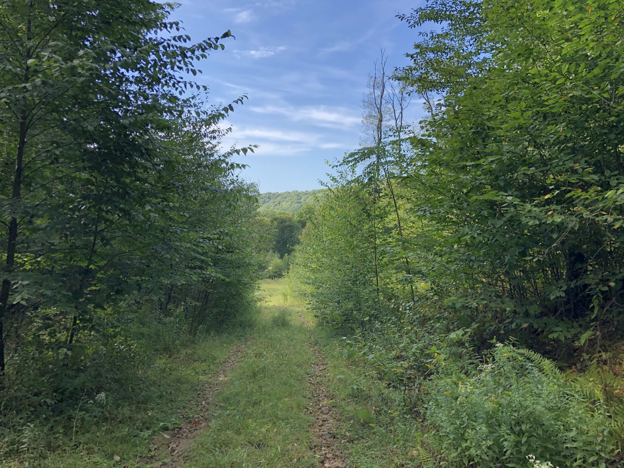
Long ago, when we first moved back to the Pittsburgh area, I spent a lot of time looking for nearby places to hike.  I've since learned that you need to travel at least an hour and a half to get to anyplace really good, but that's another story altogether.  My quest led me to State Game Lands 245, near the ultra-Trump-loving village of Claysville, Washington County.  I returned there today to clean and fire my grandfather's old shotgun, which had not been fired in at least 40 years.


For years I've been meaning to bring the old gun down here and see if it still works.  I nervously took it to the gun shop in Bridgeville to see what they might say.  The creepy militiaman behind the counter said they don't deal in shotguns, only high-powered weaponry.  That place was full of old taxidermied baboons and ostriches.  It had Trump paraphernalia about and sold "blue lives" flags.  From there I went to the gun shop on Thoms Run Road, which seemed much more like the kind of place where hunters shop--as opposed to the kind of place where angry rednecks go to stock up on killing machines.  The helpful fellow there showed me how to clean the shotgun, told me what kind of ammo to use, and sold me everything I needed.  

Then?  Then I took it to the game lands where they have a shooting range.  I put an old plastic bottle in a tree, and I fearfully loaded up the thing and shot it.  What a beautiful noise!  After that, I thought I'd make a quick trip down to the area of WEST VIRGINIA that I've been exploring of late.

Wingfield Pines and Chartiers Creek

Wingfield Pines is a park, of sorts, that belongs to the Allegheny County Land Trust.
Even though it's nearby, I hadn't gone there in years.  I didn't like the way people let their dogs run wild there.  But I had an hour or so to hike in the bright, cool autumn air before the gun stores opened, so I went back to this place.
The lovely Chartiers Creek runs right through it.  Did I mention that I stopped coming here because I don't like having to deal with strangers' dogs?  Suburbanites and their dogs!
Much to my surprise, there were no more dogs!  Happily, dogs are no longer allowed here because it's designated now as a nature preserve.  A big sign at the gate reads, "No Pets."  I was so happy.  I mean you can't have their precious dogs chasing after the wild ducks, can you?  There were many handsome birds here, most of which I could not identify.
You might be wondering why I went to a gun store.  I wanted to make sure my grandfather's old 12-gauge was still operational, so I thought I'd have a professional take a look at it.  What a weird experience that was!  I was not at all surprised to find that the kind of people who hang out at gun stores also do not wear masks during a pandemic....

Monday, October 5, 2020

Lower Buffalo Church

Lower Buffalo Presbyterian Church looms large in the early history of Western Pennsylvania--at least in its religious history.  I accidentally came across it while driving Route 50 into Wellsburg, West Virginia.  (Yes, yes, I know, West Virginia again.  I tend to fixate on things for several months at a time.)  This congregation has been around since 1789, and their building stands less than a mile from the state line.  I gotta say, the place looks a bit ragged, with paint peeling off the window frames and wild vines growing up the sides.  The rule of thumb with Washington County churches is this: Pick the nearest body of water, which is often (but not always) named after an animal.  Pick either the word "upper" or "lower," then add your denomination and the word "church."  "Upper Buffalo Presbyterian Church, Lower Buffalo Presbyterian Church, Upper Raccoon Presbyterian Church, Lower Raccoon Presbyterian Church, Upper Ten Mile Presbyterian Church..."  You get the point.  Oh, and since I'm trying to switch my day off to Monday, I did take a long drive out to West Virginia again and got lost many times.  Find that adventure HERE.


Thursday, October 1, 2020

Is West Virginia Truly a Southern State?

It's long been my policy on this blog only to post photos and thoughts about places in Pennsylvania.  For that reason, this is a nondescript photo of the Allegheny National Forest.  Why write about Pennsylvania?  I guess because no one else seems to be doing it.  This is a historic, beautiful, and unique place that doesn't get the attention that it deserves.  That said, it's funny how, as soon as you cross the border to the north or to the south, things get immediately MORE beautiful and unique (if not more historic).  For example, the Chautauqua Institution is just across the line in New York...and somehow it could not exist on the southern side of that line.  And Cooper's Rock is just across the Mason Dixon Line to the south, in West Virginia, and you'd be hard pressed to find such a cliff in the state to the north.  I've often said that Pennsylvania's only job is to make sure New York and West Virginia don't have to touch each other.  We've got elements of both things here: refined East Coast and wild Appalachia.  But not enough of either.  However, I've been exploring the question of whether West Virginia really is a Southern state, and I've gotten two very good days off in that place!  Click HERE and HERE.
Apparently convention states that the red areas are the South.  The pink areas are the Near South.

Tuesday, September 22, 2020

The Clarion River

The Clarion River never disappoints.  Wild, shallow, rocky, and free, it flows between wooded hills along the southern border of the Allegheny National Forest and westward into the Allegheny River.  
It's one of America's "wild and scenic rivers" as designated by Congress.  You can get postage stamps with the Clarion River on them--as long as the Republicans have not yet eliminated the Post Office.
I chanced upon two river otters frolicking in the water here, and I nearly stepped on a muskrat while rushing to photograph them.

A Place Called Brookston

As you descend the hill, north / westbound on PA 948 into the village of Brookston, you'll see a sign and a tiny grassy lane that forms the rightward branch of a Y and goes back uphill.  A sign at the entrance to the grassy road says "Brookston Cemetery."  In all my years of living up there, I never once stopped by to see the place.
And honestly, there's not much to see.  A few of the headstones are scrawled out in sad, makeshift style and made of regular old fieldstone--especially in the end of the cemetery where mostly children seem to be buried.
I think some of them are in Polish, too.  The majority date back to the early 1900s.
Stones in a grassy field, dates, names, moldering bones down below.  
The Twin Lakes Trail seems to be better maintained than it was when I lived up North.  Because it runs through the very industrialized southern end of the ANF, the trail's course tended to become lost amid new gas wells, gas roads, and clear-cuts.  
The only overlook along the 18-mile expanse of the Twin Lakes Trail is found on the hillsides just above Brookston.  And, well, it's rather a modest view.  
Someone seems to be a repeat customer at this spot, though.  Even if the view's not for much, at least there's a nicely-dug fire ring, a swing, and a neat little stack of firewood.  

Friday, September 18, 2020

Stony Point Revisited


This is the little-known overlook at a place called Stony Point, in the Allegheny National Forest.  It's not a spectacular view, but it is a pleasant one.  On our two-family camping trip over Labor Day weekend, I thought this would make a pleasant destination for a two dads and five children.  (The mothers stayed back a the campsite to talk and snack.)  Our friends are mixed-race.  When they got to the campsite in the ANF, they expressed a little shock and fear at all the Trump signs and Confederate flags they had seen driving up to this part of the world.  Me?  In my white privilege, I just look at the flags and signs and roll my eyes.  "Idiots.  Fools.  Unlettered haters."  But my black friends see such things and think, "What if our car breaks down here?  What if we need help out here among people who are flying flags that say, 'We hate you'?"  

On the trail up to Stony Point, we overtook a middle-aged couple in camo.  They turned and stared at us hard: two white guys, three black kids and two white kids.  I took it upon myself to be all homespun and chatty with them.  "Hey there!  You folks headed up to Stony Point?  That's where we're goin'!  I didn't think anybody else knew about that spot."  The woman wouldn't even look at us.  The man just said, "Yep."  I assumed that either they were disappointed that we had interrupted their solitude, or else they were disturbed to see three black kids in the woods (and two dads, no moms to boot--potentially gay guys who had adopted).  Their stony silence had a hostile feel to me.  I decided to give them the benefit of the doubt; I get annoyed too when I think I have the forest to myself, then I see a band of people--especially kids--trooping past.  But there sure are a lot of symbols up in that area to express hate and the marginalization of minorities.  It made me feel shame for the place that I love...

Back to Salmon Creek

We returned to Salmon Creek in the Allegheny National Forest for Labor Day weekend.  That makes our third family camping trip there this summer, and my fourth in total.  It was quieter this time around; the forest more subdued, as if the initial enthusiasm of May had all worn off and a sort of autumnal resignation had set in.  The leaves, still green, are sparser and tinted with a pale shade of yellow.  Drought and cold northern nights are leading them toward the fall.
There are so many apple trees up there.  The North Country Trail passes through an old apple orchard, and trees full of ripe apples stand along the 7-mile dirt road.  My daughter and I picked about forty of them, some of which I made into an apple pie.  The pie wasn't great, but that was more my fault than the apples'.  
Water levels are low in the streams.  It's been a dry summer after a few crazy wet ones.  When the rain was coming down in torrents all winter long, and the basement was flooding, and the cliffs along the interstates were crumbling in mudslides, I swore I would never complain of another drought.  I would welcome a drought.  I lied.

Sunday, August 23, 2020

A Night in Oil Creek State Park, Wolfkiel Camping Area

I had some exploring still to do at Oil Creek State Park, and so I ended up spending a Saturday night up there.  Unlike state forests, where you can just show up and pitch a tent, you always have to have reservations in a state park.  And the only way an individual can camp at Oil Creek is to use the camping areas provided for backpackers doing a 30-mile loop of the park.  Only one night is allowed.  (There are group camping areas, too.)  So, with a ripped backpack, I trekked in from the road to one of the Adirondack shelters at the Wolfkiel camping area.
I've never actually stayed in one of these things before, but it was nice--kind of like a little cabin.  My only complaint is that the fireplace made the bedroom too hot, so I had a fire in the afternoon but not in the evening before bed.  Also, I was a little nervous about whether those screws were going to hold up or if my hammock might collapse in the night, dropping me dead-weight onto the edge of this wooden floor.  It made me so nervous that I eventually got down and slept on the floor with an airpad.  But I did like being up in the hammock when the raccoons came to call in the night, with the creepy guttural clicking noises they make.
It was nice to have a table, too.  I arranged my maps on it and planned some upcoming adventures.  Actually, when I called to reserve one of these shelters for later that same day, the lady told me they were all reserved that night except two.  I was worried that this little campground would be overrun.  In reality, only two of the sites were occupied.  
 There was one very distant barred owl that made its call near morning, nothing like what I heard at Cornplanter.  Mostly there was a band of howling dogs, probably on some nearby plot of private ground, and they moaned and barked much of the night.  Then their owner came out and started shooting high-powered rifles.  

A Night in the Cornplanter State Forest

The Cornplanter State Forest is composed of a few scattered tracts of woods in unexpected places.  Not the most inspired or inspiring place to do an overnight.  The biggest tract is just outside the river town of Tionesta, and nestled up against the edge of the Allegheny National Forest.  It's nice enough, I suppose, but it would never be my first choice in an outdoor destination.  I walked its trails many years ago, and my impressions of it are about the same: pleasant, unremarkable, more a walk in the woods than a wilderness trek.  (To see that article, click HERE.)  But my plans to stay at the Kennerdell Tract of the Clear Creek State Forest were dashed pretty late in the day by the fact that my backpack had ripped badly.  So, many miles from home, I needed to find a place where I could pull off the road and camp relatively close to my car on a Friday night.  It had to be close to the car because I didn't have a backpack to transport things very far into the woods.  I remembered Cornplanter and thought it would work.  
And it did.  Beautifully.  I dragged what gear I could about half a mile into the trees in a big duffel bag.  I bushwhacked about 200 feet off of the Hunter Run Trail and set up camp.  At first, it all felt too rushed, too perfunctory, too much a campsite of necessity.  But I put up my hammock and watched the night go dark around me.  It was so quiet and so calm.  I really loved it.  Before long, the most wonderful owl started calling into the night: wild, mournful, persistent.  Now it was close-by, now far away, now a bit to my east, now to the west.  It called all night long and into the early hours of the morning.  I always hope to hear an owl when I'm out alone at night, but never have I gotten such a terrific earful as the one the humble Cornplanter State Forest gave me.  
 And though I did occasionally hear the odd nocturnal vehicle out on the nearest road, it was rare.  Mostly I was just a guy alone in the woods, and it was nice.  In the end, it was a really beautiful time in among the trees there.

Resplendent Decay: A Few Shots of Oil City

Oil City, my birthplace.  I wish you could see just how steep this street is.  My grandmother used to fret that a car was going to come sliding down this steep street in the winter and come barreling straight into the front window of our house...
There's a lot of abandoned property here--though not as much as you find in the towns of the Monongahela Valley.  A lot of houses in Oil City just LOOK abandoned; they've actually got people living in them.  And they're big.  And they have a lot of nonsensical doors opening onto porch roofs.  Upstairs exterior doors to nowhere are pretty much a feature in most of these homes.  Our house has a door in the bathroom that opens onto a three-story drop.
When we were kids, the round tower on the top of this house served as a kind of landmark.  It used to be so lovingly maintained... Now everything looks like an abode of witches, or vampires, or goblins.
 The dereliction is such a waste, such a betrayal.  But who can maintain a house like this in the local economy?  I think this place went from private home to funeral home and now back to a private home--or maybe an apartment building.  It'd be weird to live in a house that used to be a funeral home...

Thursday, August 20, 2020

An Abandoned Church Near Franklin, Pennsylvania

I believe this poor, sad, swaybacked old place was once known as Hebron Methodist Church, though it's been abandoned now for many a long year.  It sits along Old Route 8 between I-80 and Franklin, in Venango County.  I'm back up here for a planning retreat.
It sits in the sparsest little cemetery along a partially forgotten thoroughfare.  They're doing a lot of construction on the 4-lane now known as PA Route 8, but I've heard that they're actually reducing it back to a 2-lane--since Franklin and Oil City are mere shadows of their former selves.  I don't know.  Did most of the headstones in this cemetery get knocked over or stolen, or is the cemetery pretty empty?
Even here in the hinterlands, a church has some flights of fancy, some rural pretensions to ecclesiastical glory, like the playful design on these plain old wooden window panes.  You might catch a ghostly shadow in this window, too: the blogger formerly known as The Snowbelt Parson.
I love sacred architecture, but this place has a strangely hollow feel to it, almost creepy.  The honeybees seem to like it though.  
Are there people buried in this churchyard, in unmarked graves, or does it sit mostly fallow, so to speak?  
Someone may have loved this place at one time, but that was long ago.  
"Behold, I stand at the door and knock."  And you'll knock a long time before anyone opens this door.  It's nailed shut.  I was able to take a few interior shots through the windows.    
 This is the chancel--which is to say the "stage" or "dais."  See the rail?  That's sometimes known as "the altar," though it's technically an altar rail.  It's where old-timey Methodists would have come to kneel in penitence to confess their sins and "get saved."  Methodist services back in those days always closed with an "altar call" to invite penitent sinners to change their ways.  You can see where they tried to lower the ceilings to save on heating bills.  But it all came down in the end...as all things will.

Sunday, August 16, 2020

Oil Creek State Park and Rural Venango County

This is my native country, Venango County.  The woods are dark hemlocks.  There's water everywhere, and ferns, and big rocks, and beeches.  There's also an occasional Biden sign in people's yards!
For some ridiculous reason, I did not think to bring my hiking boots with me and ended up doing a few miles of trails here in deck shoes.  Look at these steep hillsides.
Venango County--especially the Oil City area--is strangely eccentric.  Though the main hiking trail through Oil Creek State Park does a very long loop--something like 20 miles--I made a loop back to my car by taking some rural roads near the park.  This is an antique car museum that was closed...and looks like it's been closed for a long time.
Pleasant if unremarkable countryside.  I like the way the clouds cast passing shadows over the hills.
Oil Creek is a lazy stream that meanders between the hills and joins the Allegheny River at Oil City, my wildly eccentric hometown, where grand old houses sit abandoned and rotting into the hillsides, where businesses sit empty, where they've got a really good little independent coffee house and some very colorful characters.  I like to come up here to check on our house, which now sits empty and is no longer ours... Actually, back in Oil City's heyday, when Wolf's Head, Pennzoil, and Quaker State were all based here, Oil Creek once caught on fire.
This is the gated road that leads to the camping area inside Oil Creek State Park.  It's technically for backpackers, but locals come and set up camp, too.  
 This lovely old farm sits on White City Road, which is just a country lane.  The farmhouse had an old, worn picket fence around it, with the wire gate hanging open between the shrubs in a most inviting way.  A walkway  leads up to a shady porch with comfortable looking furniture.  What a beautiful place to live.