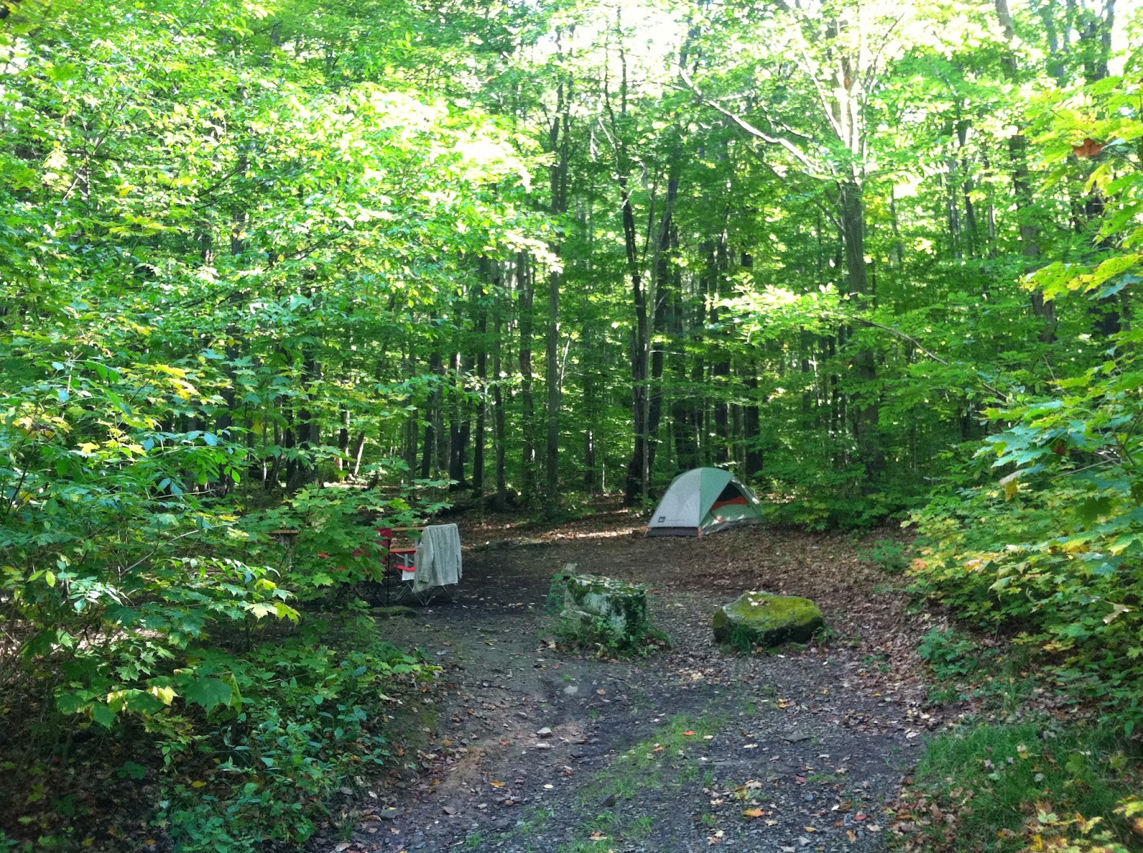
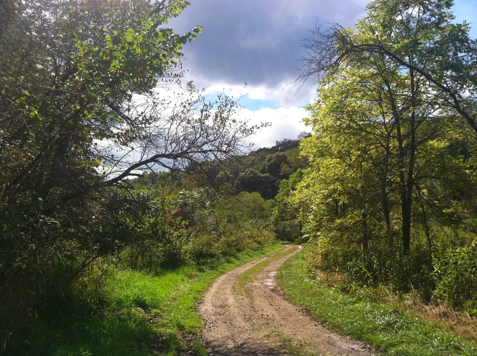
The Forbes State Forest is becoming my regular hiking grounds, which Raccoon Creek used to be. It's further afield than Raccoon, but so much wilder and more beautiful. I like the mountainous terrain, too, and the beautiful upland farm lanes.
After waking up at Kooser State Park this morning, I ventured out early to explore a place I'd found once while poring longingly over my treasured maps. A little gravel way called Felgar Road runs parallel to to the PA Turnpike for a while then disappears deep into the Forbes State Forest. Felgar Road is an unwelcoming place. The few private properties along the road have menacing signs, warning of video surveillance and prosecution. It's kind of an eerie neck of the woods, albeit pretty on a sunny, blustery fall day. Where the road ends, a network of intriguing trails begins. According to the map, Felgar Road is gated near its eastern end, and has to be traveled on foot to the trails. But it comes out at an appealing spot, near the new footbridge where the Laurel Highlands Hiking Trail crosses overtop the turnpike.
It was indeed a very strange drive, with the wind blowing hard in the autumn forest. The further I went, the narrower and more difficult the lane became. It also wended gradually uphill. At about the time I'd gone a few miles and reached the Ritter Cemetery--above--I allowed myself to get spooked. My fuel gauge was telling me I had less than an eighth of a tank left, which was strange since I'd begun with a quarter tank. I turned tail and went to get gas and hike another part of the forest, near the beautiful Linn Run State Park. But I regret chickening out, since a part of me knew all along that my fuel gauge was giving an erroneous report due to the uphill grade. I'm definitely going back to Felgar Road. And soon.


